 Yee Haw! It’s Stampede Week in Calgary, Alberta and what better way to celebrate than to combine Stampede attire (ie cowboy hat, jeans, big belt buckle and boots) with a seminar on Geospatial Analysis. Well, it seemed like a crazy idea; however, the folks at Autodraft, Inc have a great sense of fun. So, when I was given the opportunity to talk about my favorite topic of Engineering GIS and CAD/GIS integration, I jumped at the chance.
In spite of the Stampede traffic, the rain and the tornado watches, folks came out in droves to learn how to analyze their CAD drawings and geospatial data using the powerful geospatial analysis tools found in Engineering GIS. With the help of my pardner "Cowboy Bob", we delivered a seminar entitled "Geospatial Analysis for the Egnineering and CAD Professional". We used AutoCAD Map 3D, AutoCAD Raster Design and Autodesk Topobase to demonstrate numerous geospatial techniques including…

- Queries and how to use them to get more information from CAD drawings and GIS data sources
- Drawing cleanup tools and why they are necessary to ensure the accuracy and correctness of CAD and GIS data
- Topology, it’s importance for CAD and GIS users alike and how to create topologically correct features
- Spatial analysis such as network traces and their use with CAD and GIS data
- Polygon overlay and its power to reveal new patterns in CAD and GIS data
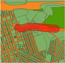
- Buffer analysis and why it’s sometime the best way to determine spatial proximity
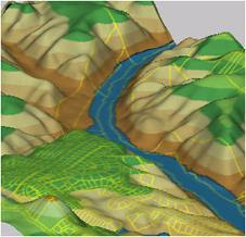
- 3D surfaces and how to analyze them for height, slope and aspect
- Raster to vector conversion and how to combine scanned CAD drawings, maps and aerial imagery with vector-based CAD and GIS data
- And more…
A fun and informative Yee Haw time was had by all!


1 comment:
Thanks for sharing..
regards
remote sensing services
Post a Comment